
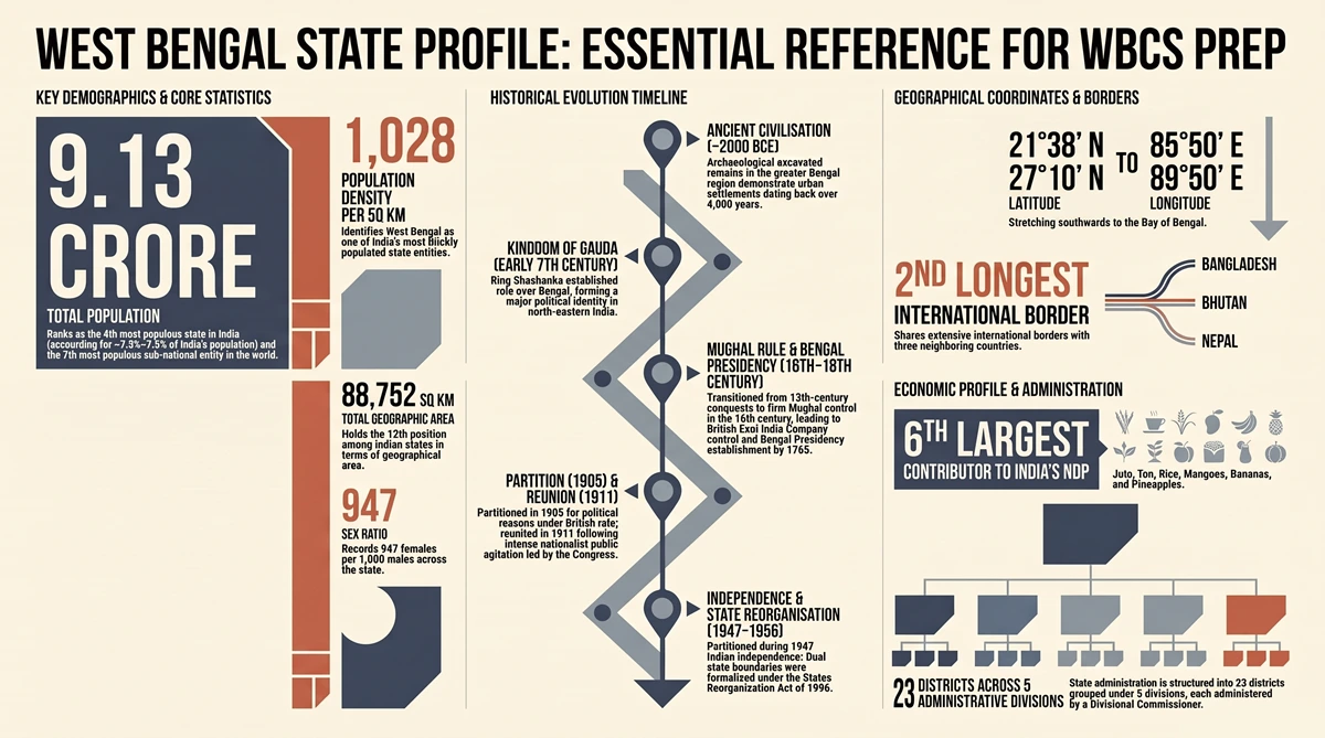
West Bengal State Profile: West Bengal is a crucial constituent state located in the eastern region of the Republic of India. Within the political structure of India—comprising 28 states and 8 Union Territories—West Bengal plays a paramount role strategically, economically, and culturally. Positioned as the gateway to North-East India and neighboring South-Asian countries, the state holds immense geopolitical significance for international trade, security, and regional diplomacy.
| 📌 CORE GEOPOLITICAL TAKEAWAYS West Bengal is one of India’s 28 constituent states, located in the eastern quadrant. Ranks 6th nationally in contribution to India’s Net Domestic Product (NDP). Acts as a major agricultural stronghold and international crossroad with Bangladesh, Bhutan, and Nepal. |
2. West Bengal State Profile – Demographic Profile
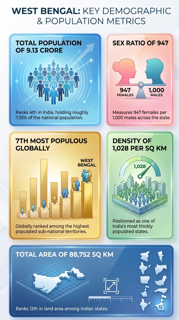
Despite occupying a relatively modest landmass, West Bengal supports one of the highest population densities in the country, highlighting significant demographic weight on national and global scales.
- Total Land Area: 88,752 sq. km (ranks 12th among Indian states by physical size).
- Total Population: 91,347,736 inhabitants (~9.13 Crore / over 91 million).
- National Population Rank: 4th most populous state in India.
- National Population Share: Accounts for 7.54% to 7.79% of India’s total population on just ~2.7% of the nation’s land area.
- Global Demographic Standing: Ranks as the 7th most populous sub-national entity globally.
- Population Density: 1,028 persons per sq. km, placing it among India’s most thickly populated states.
- Sex Ratio: 947 females per 1,000 males.
3. Historical Evolution & Milestone Chronology
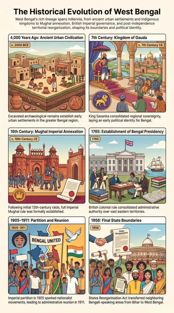
The state of West Bengal is rooted in over four millennia of continuous human occupation, political transformations, and administrative reshuffles. The key historical milestones from ancient times to modern statehood are detailed below:
Ancient Period & Early Kingdoms
- Urban Settlement (~4,000 Years Ago): Archaeological excavations in the greater Bengal region demonstrate human settlement and urban civilization dating back over 4,000 years.
- Kingdom of Gauda (Early 7th Century): King Sasanka established the kingdom of Gauda around the early 7th century, laying the foundational political and geographical identity for Bengal in northeastern India.
Medieval Era & Mughal Consolidation
- Muslim Incursions (13th Century): Periodic raids and regional control began in the 13th century.
- Mughal Annexation (16th Century): The region was formally integrated into the Mughal Empire by the 16th century, establishing Bengal as a thriving provincial center of trade and agriculture.
British Colonial Period & Freedom Movement
- Establishment of Bengal Presidency (1765): Following British expansion, the East India Company consolidated Bengal, establishing the Bengal Presidency in 1765. Authority was later transferred to the British Crown, administered directly by the Viceroy of India.
- First Partition (1905): Lord Curzon partitioned Bengal in 1905 for administrative and political control.
- Reunion of Bengal (1911): Following intense public protests, national agitation, and political movement under the Indian National Congress, the partition was annulled and Bengal was reunited in 1911.
Independence, Partition & Reorganisation
- Independence & Second Partition (1947): With Indian independence in 1947, Bengal was partitioned into West Bengal (India) and East Pakistan (now Bangladesh).
- States Reorganisation Act (1956): Final modern boundaries were established under the States Reorganisation Act of 1956. Under this act, Bengali-speaking areas from neighboring Bihar were transferred to West Bengal, forming the Purulia district.
4. West Bengal State Profile – Geographical Location, Coordinates & Frontiers
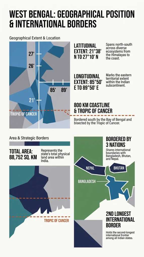
West Bengal stretches from the Himalayan mountains in the north down to the Bay of Bengal in the south. Its spatial arrangement provides diverse ecological zones and critical strategic borders.
- Latitudinal Range: 21°38′ N to 27°10′ N.
- Longitudinal Range: 85°50′ E to 89°50′ E.
- Tropic of Cancer: Passes directly through the middle of the state, influencing its tropical and sub-tropical climate.
- Maritime Frontier: Situated at the head of the Bay of Bengal with a coastline extending up to 800 km.
- International Boundaries: West Bengal possesses the 2nd longest international border among all Indian states, sharing boundaries with Bangladesh, Bhutan, and Nepal.
5. Agriculture & Economic Profile
West Bengal is an agrarian backbone for eastern India. Its alluvial plains and rich water availability foster high crop production.
- Economic Ranking: Ranks as the 6th largest contributor to India’s Net Domestic Product (NDP).
- Major Agricultural Crops: Leading national producer of Rice and Jute. Tea plantations in the northern sub-Himalayan belt (Darjeeling and Dooars) hold international renown.
- Horticultural Fruits: Widespread production of Mangoes, Jackfruit, Bananas, Oranges, and Pineapples.
6. Administrative Machinery
For efficient executive governance and public service delivery, West Bengal is organized into specialized territorial tiers:
- Districts: Divided into 23 administrative districts.
- Divisions: The 23 districts are grouped into 5 administrative divisions.
- Executive Heading: Each administrative division is headed and supervised by a Divisional Commissioner.
7. West Bengal State Profile – Quick Revision
| Parameter / Indicator | Value / Figure / Detail | National Rank / Context |
| Total Surface Area | 88,752 sq. km | 12th in India |
| Total Population | 91,347,736 (~9.13 Crore / >91M) | 4th in India |
| National Population Share | 7.54% – 7.79% | Sustained on ~2.7% land area |
| Global Population Rank | 7th Sub-national Entity | Global context |
| Population Density | 1,028 persons / sq. km | Among most densely populated |
| Sex Ratio | 947 females per 1,000 males | Census benchmark |
| Latitudinal Extent | 21°38′ N to 27°10′ N | Northern Hemisphere |
| Longitudinal Extent | 85°50′ E to 89°50′ E | Eastern Hemisphere |
| Coastline Length | Up to 800 km | Bay of Bengal head |
| International Borders | Bangladesh, Bhutan, Nepal | 2nd longest international border |
| Economic Output (NDP) | 6th Largest Contributor | Net Domestic Product |
| Major Crops | Rice, Jute, Tea | Key agricultural producer |
| Major Horticultural Fruits | Mango, Jackfruit, Banana, Orange, Pineapple | Fruit producer |
| Administrative Units | 23 Districts across 5 Divisions | Headed by Divisional Commissioners |
| Historical Boundary Basis | States Reorganisation Act, 1956 | Purulia added from Bihar |
Read more: